
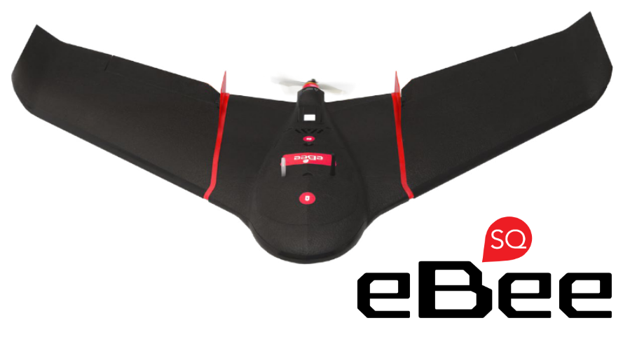

Main Features
- Wingspan 110 cm
- Weight1,1 kg
- Sensor Parrot Sequoia
- SW for flight planning and control eMotion AG
- Radio link range 3km nominal (up to 8km)
- Max flight time up to 55 minutes
- Cruise speed 40-110 km/h
- Wind resistance up to 45km/h
- Liner Landing
The Advanced Agriculture Drone
senseFly eBee SQ is a professional drone for mapping in the agro-forestry sector, built around Parrot’s revolutionary “Sequoia” acquisition system, equipped with a highly integrated multispectral sensor (1.2 Mpix) that captures, in one single flight, data on vegetation and crops through four multispectral bands (550, 660, 735 and 790 nm), in addition to RGB images (16 Mpix).
senseFly eBee SQ is able to cover hundreds of hectares in a single flight, up to 10 times more than multi-rotor systems, which means fewer flights and less time spent for data collection.
senseFly ebee SQ has a maximum flight time up to 55 minutes.
With the data collected by senseFly eBee SQ it is possible to generate extremely accurate maps and, based on them, optimize the treatments to be reserved for crops to improve the quality of production, increase yields and reduce costs.